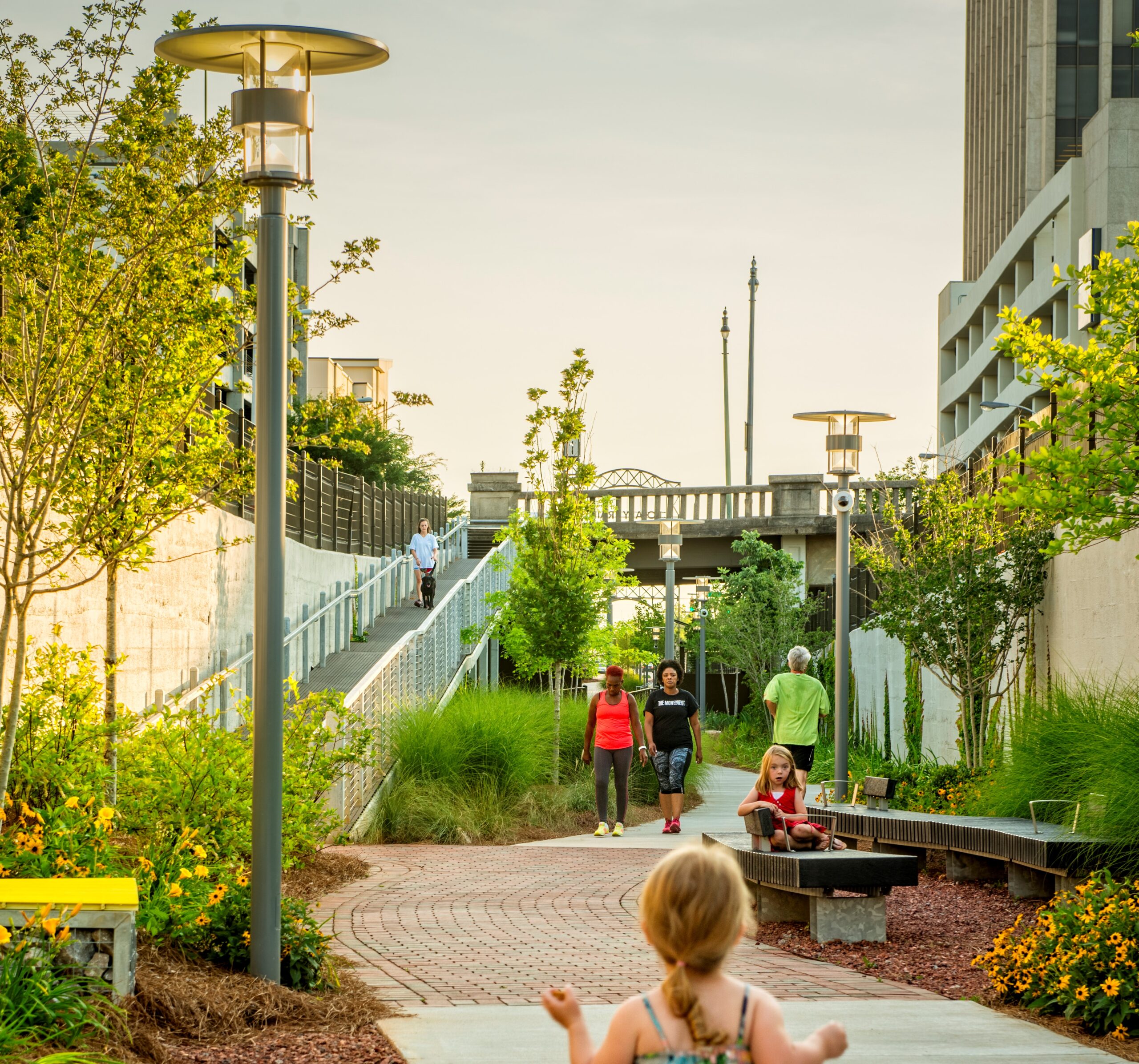
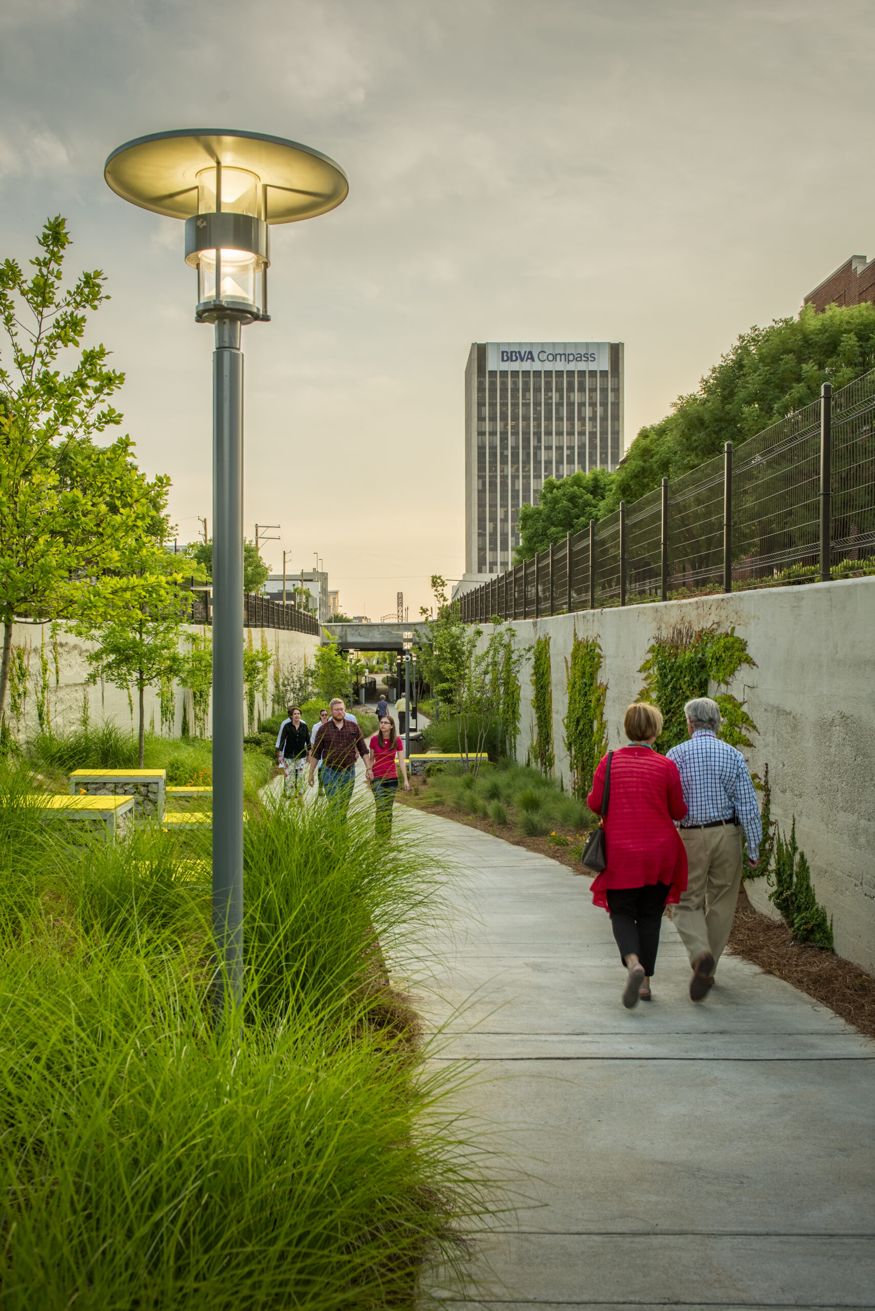
Rotary Trail is an eastward extension of Downtown Birmingham’s award-winning Railroad Park that runs along a depressed rail bed known as “the cut.” The linear park is part of the Red Rock Ridge and Valley Trail System Master Plan—a visionary, long-term plan for knitting Jefferson County together that includes more than 250 miles of greenways and trails, and 500 miles of streets open to cars, bicycles, and pedestrians.

Entry points via steps and ramps at each gateway are marked by illuminated street numbers on vertical steel columns. At its lowest points, the 26-foot wide rail bed was raised six feet to make it a more comfortable environment for pedestrians. Bringing up the grade level decreases the shadows and dark canyon feeling allowing for more natural light. The trail includes energy-efficient LED up-lighting on the gateway walls and trees.
To protect stream buffers and mitigate stormwater runoff, which is crucial for improving the urban stream water quality, stylized stonework reminiscent of creek beds function as stormwater swales that allow water to be filtered and absorbed into the ground.


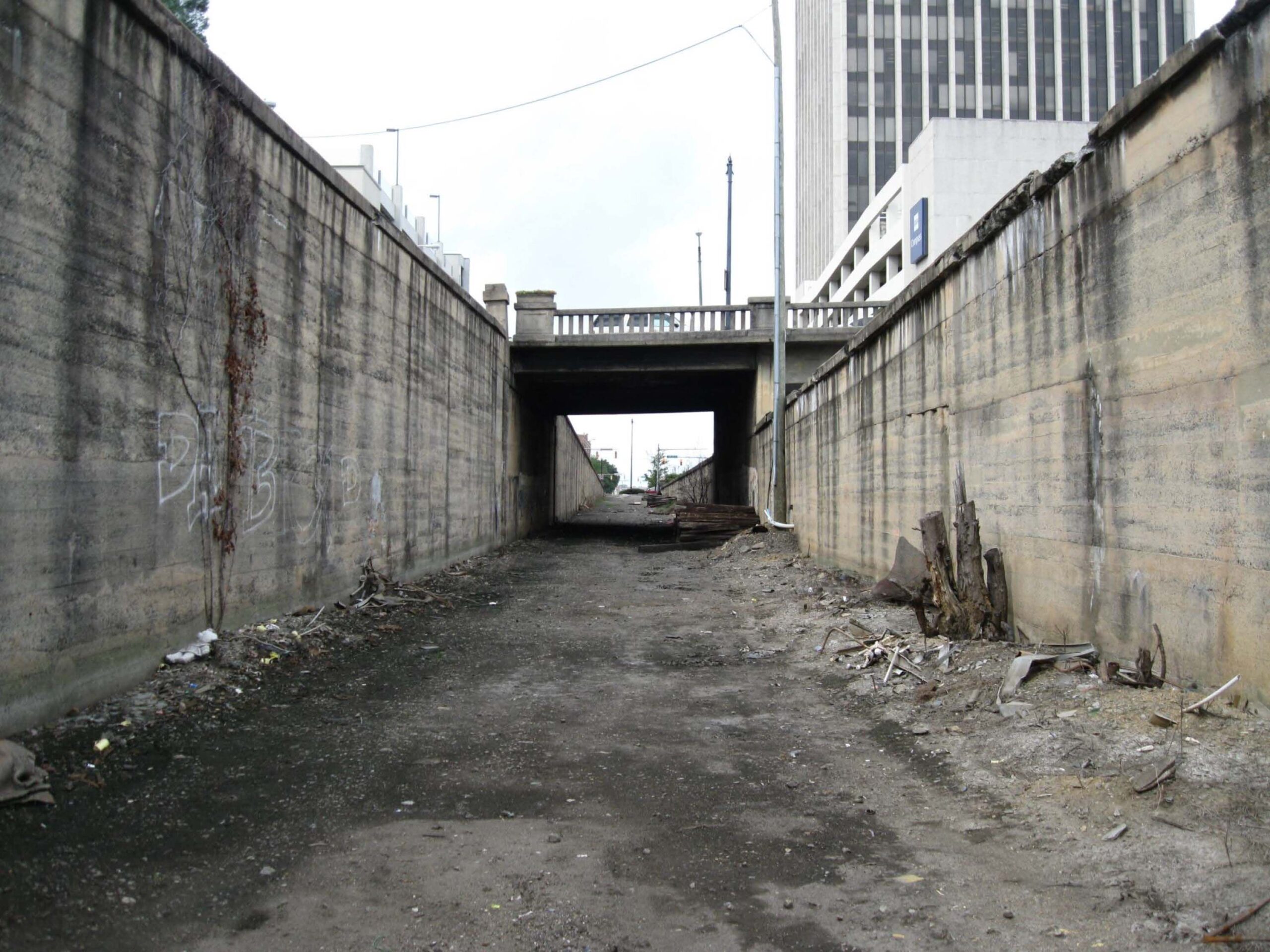
The original abandoned rail bed was an uninviting scar that ran 4 blocks through downtown with the only access being at either end where the rail bed met street level. Due to its low-level in an urban environment, trash and stormwater would collect here and create an uninviting sight to even walk past at street level.
GMC is one of the most comprehensive multi-disciplined architecture and engineering firms in the Southeast.
Or email: bids@gmcnetwork.com