Rotary Trail in the Magic City
July 11, 2016 · Accolades, Projects
Birmingham’s newest park, Rotary Trail, was completed this spring. GMC was the primary design firm of the landscape-architecture-led project team, which worked with 30-plus design professionals, Rotary Club of Birmingham and the City of Birmingham since 2010 on developing the overall concept, design development and implementation.
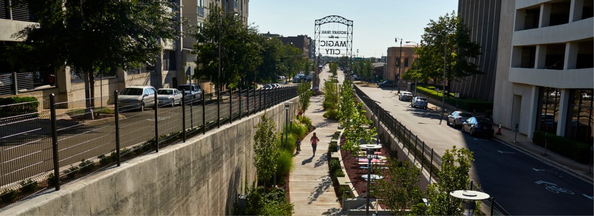
An eastward extension of Downtown Birmingham’s award-winning Railroad Park, Rotary Trail runs along a depressed rail bed known as “the cut.” The linear park is a center piece of the Jones Valley Trail, which when completed, will connect Red Mountain Park to the historic Sloss Furnaces as part of the Red Rock Ridge and Valley Trail System Master Plan—a visionary, long-term plan for knitting Jefferson County together that includes more than 250 miles of greenway trails and 500 miles of street-based trails, also developed by GMC’s planning and landscape architecture team.
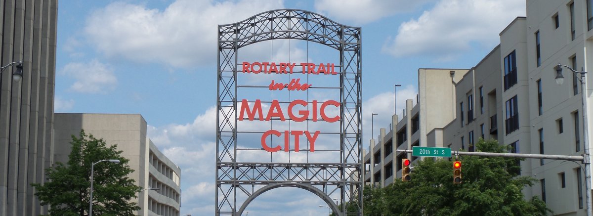
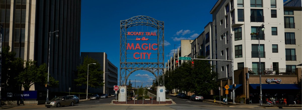
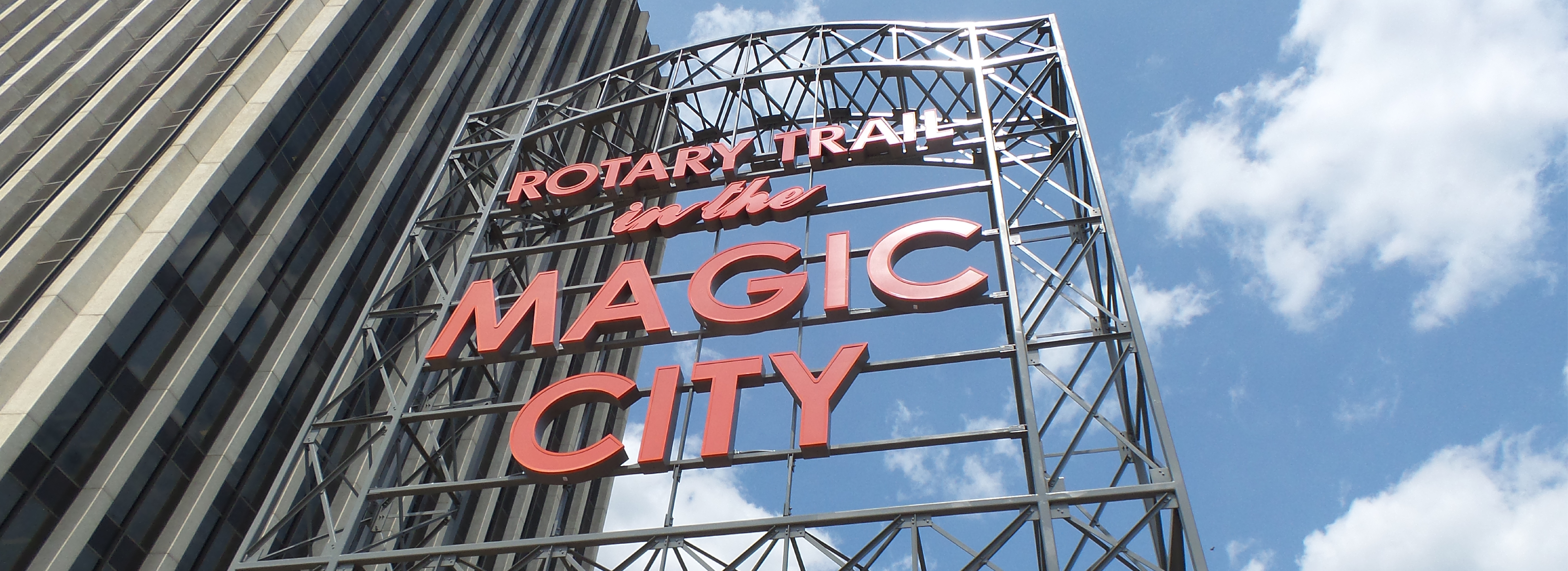
The focal point of the half-mile long Rotary Trail is the gateway arch, which is a recreation of an iconic sign that once stood at Birmingham’s Terminal Station until both were torn down in 1969. The destruction of these icons to make way for a highway has become a rallying cry for citizens and preservationists whenever new developments threaten the city’s architectural heritage. As a fixture of Downtown that welcomed visitors to the city, the original sign bore the words, “Birmingham: The Magic City,” and represented a booming time in Birmingham’s past as a major steel producer.
The community got its first official glimpse of the linear park during a sign-lighting ceremony for the new gateway, which reads, “Rotary Trail in the Magic City,” in letters illuminated by LEDs. Fabricated by the same parent company that built the original, the structure pays homage to Birmingham’s steel heritage and further emphasizes the City’s development around the rail industry. After decades of decline, $2.9 billion has been invested in the downtown area over the past five years to preserve historic buildings and fill vacant/underutilized lots with mixed-use, high density urban developments. With this influx of new downtown investments, the gateway once again represents resurgence in bringing the magic back to the Magic City.
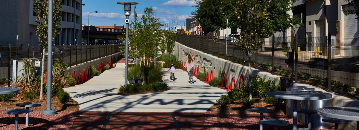
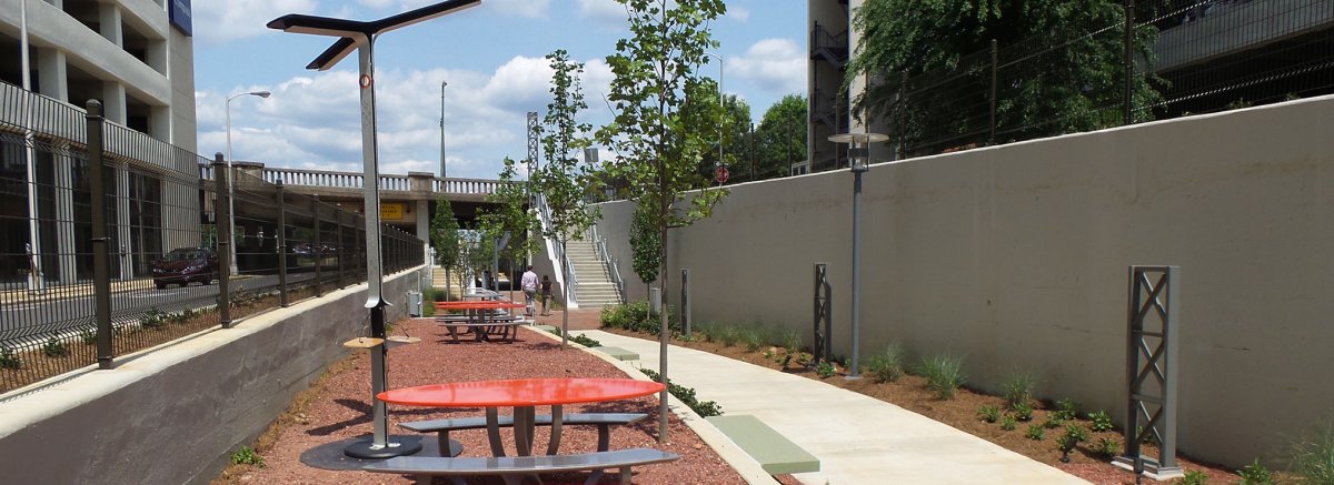
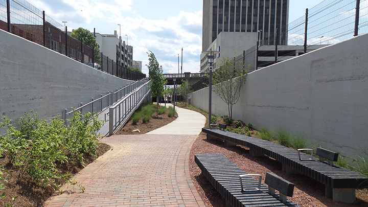
Part of the trail’s success is its engagement with the surrounding residents and businesses and various points of entry, picnic tables, solar charging stations and a small outdoor amphitheater. The formerly dangerous four-block urban canyon with access only at either end now features entry points via steps and ramps at each intersection that are marked with new signage designed to mimic the main gateway architecture. Energy-efficient LED lighting in the handrails and on the walls, trees and interpretive signage also accents the trail.
To protect stream buffers and mitigate stormwater runoff, which is crucial for improving the urban stream water quality, stylized stonework reminiscent of creek beds functions as stormwater swales that allow water to be partially filtered and absorbed before entering the storm sewer system.
Only open a short while, and even before the trail opened, the successful plan and design has symbolized Birmingham’s revitalization, bringing an entire community together to celebrate a new icon in the Magic City.
Project Awards
- Water Conservation Award – Alabama Wildlife Federation, 2015
- “Commercial Real Estate Deal of the Year” – Birmingham Business Journal, 2016
- “Best of Birmingham List” – Atlanta Magazine, 2016
